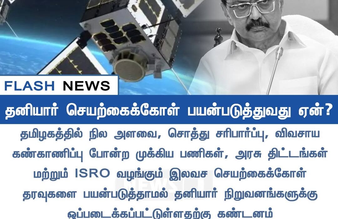

தமிழகத்தின் நில அளவை, சொத்து சரிபார்ப்பு, விவசாய கண்காணிப்பு போன்ற பணிகளில் தனியார் செயற்கைக்கோள் பயன்பாடு அதிகரிப்பு | Rising use of private satellites in Tamil Nadu for land mapping, property verification, and agriculture monitoring
தமிழகத்தில் நில அளவை, சொத்து சரிபார்ப்பு, விவசாய கண்காணிப்பு போன்ற முக்கிய பணிகளுக்கு அரசு திட்டங்கள் இணைந்து செயல்படும் நிலையில், தனியார் நிறுவனங்களின் செயற்கைக்கோள் தரவுகள் கூட பயன்படுத்தப்படுகின்றன. இதனால் பணிகள் விரைவாகவும் துல்லியமாகவும் நடைபெறுகின்றன என்று அதிகாரிகள் விளக்குகின்றனர்.
ISRO வழங்கும் இலவச செயற்கைக்கோள் தரவுகளுடன் சேர்த்து கூடுதல் தெளிவான படங்களை பெற தனியார் சேவைகள் பயன்படுகின்றன என கூறப்படுகிறது. சில திட்டங்களில் மிக நுணுக்கமான தீர்மானம் தேவைப்படுவதால், தனியார் நிறுவனங்களின் பங்களிப்பு அவசியமாகிறது என்பதும் தகவல்.
In Tamil Nadu, private satellite data is increasingly being used for critical tasks such as land mapping, property verification, and agricultural monitoring. Officials say this helps speed up operations with improved accuracy.
Although ISRO provides free satellite imagery, certain state projects require higher-resolution visuals, prompting the government to rely on private providers as well. Authorities note that combining both sources ensures more reliable and detailed datasets for planning and development activities.