அகலமண்டலத்தில் உருவாகும் காற்றழுத்த தாழ்வுப் பகுதி புயலாக மாறும் என எதிர்பார்ப்பு | Low-pressure system expected to strengthen into a cyclone
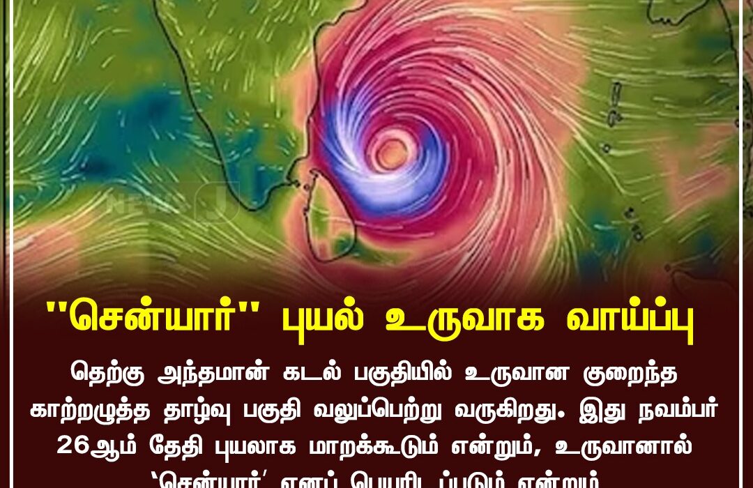
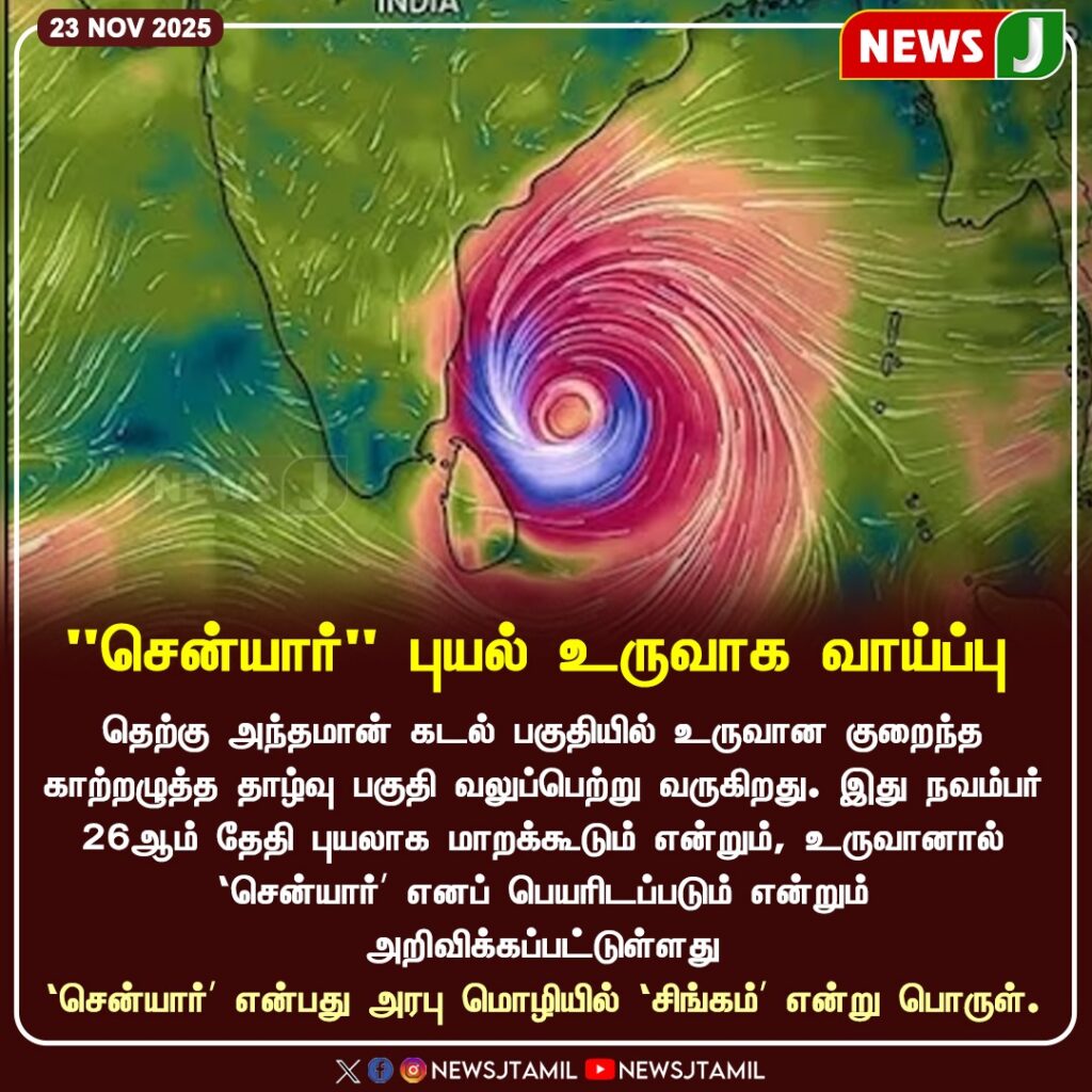
தென்கிழக்குப் வங்கக்கடலில் உருவான காற்றழுத்த தாழ்வுப் பகுதி தீவிரமாகி வரும் நிலையில், இது இந்த நவம்பர் 26ஆம் தேதி “சென்யார்” எனப்படும் புயலாக மாறக்கூடும் என வானிலை ஆய்வு மையம் தெரிவித்துள்ளது. இதனால் தமிழகக் கடலோரப் பகுதிகளில் கனமழை, கடலோரப் புயல்காற்று, மிகுதி அலைச்சல் உருவாக வாய்ப்புள்ளது.
கடலோரப் பகுதிகளில் மீனவர்கள் கடலுக்கு செல்ல வேண்டாம் என எச்சரிக்கை விடுக்கப்பட்டுள்ளது. நவம்பர் 25 முதல் 48 மணி நேரம் அதிக எச்சரிக்கையுடன் இருக்குமாறு மாநில அரசு அறிவுறுத்தியுள்ளது. பள்ளி-கல்லூரிகளுக்கு விடுமுறை குறித்து நிலைமையைப் பொருத்தே முடிவு எடுக்கப்படும் எனவும் தெரிவிக்கப்பட்டுள்ளது.
Weather department has warned that the ongoing low-pressure system over the Southeast Bay of Bengal is likely to intensify into a cyclone named “Senyar” on November 26. Heavy rainfall, strong winds, and rough sea conditions are expected along the Tamil Nadu coastal districts.
Fishermen have been strictly advised not to venture into the sea for the next 48 hours. The Tamil Nadu government has announced preparedness alerts, stating that further safety measures — including holiday notifications for schools — will be decided based on real-time weather conditions. Residents in coastal areas are urged to stay updated and follow official advisories.